More Than 1500 species of birds are recorded in Indonesia


Indonesia consists of thousands of islands and more than 1500 species of birds are recorded in the country. Many of these islands are of great biological value. There are hundreds of nature reserves. I will describe a few of these, starting with some on Java, Bali and Lombok. In 1994 my wife and I spent five weeks on these islands. The pressure on bird habitats here is very high and many species are rather scarce as a result of massive capture for the pet trade. But still many places are worth a birding visit.

Alternative Treatment in indonesia


In Indonesia there are alternative treatments stout. and this treatment when compared to the state china, there are differences lucrative untapped. when more excavated, then Indonesia has one of the alternative treatments very well. for example in the case of aids, anthtact, constriction of blood vessels, heart failure, kidney failure, and malnutrition.
developed countries such as America, Canada, Japan, Australia, and the European Union's reliance on materials for medicines from Indonesia because it is cheap.
for that Indonesia could be a viable export commodity.

-by Subhi Darajat

Giant Freshwater Stingray at indonesia (video)

Giant Freshwater Stingray at indonesia

Bermuda Triangle in Indonesia


Bermuda Triangle in Indonesia

 Surely we all know what the bermuda triangle. Triangles are often casualties and cause an accident. Bermuda triangle located in the Americas, specifically in the Bahamas archipelago. However, who would have thought that Indonesia was also having bermuda triangle similar to the triangle. Here's his review ...
Bermuda Triangle (Bermuda Triangle)
Before discussing that in Indonesia it is better if we know beforehand that in America. Bermuda Triangle (Bermuda Triangle) is an area of ​​ocean in the Atlantic area of ​​1.5 million km2 mil2 or 4 million line of triangle forming between P. Bermuda, Puerto Rico, and Miami.
This triangle is so special because it often occurs both air and sea accidents in the area. Surprisingly, the kecelakaan2 just happen, they are gone in an instant seakan2 the area. Teori2 that explains many of these events, such as methane gas theory, the unstable weather, black hole / blue hole, hole dimensions, even the theory of UFO / alien, but none have been able to explain the teori2 bermuda for certain events.
Even more surprising turns over the world there are about 5-6 (I forget exactly) similar waters with bermuda triangle. One of them turns out there are in Indonesia.
Masalembo triangle is a triangle similar to the Bermuda triangle in the Bahamas. Masalembo Triangle is located in the Java Sea waters, precisely meeting between the Java Sea to the Makassar Strait. If seen from the picture above, it is more likely Masalembo islands Makassar Strait into the Java Sea compared.
Some strange events and accidents have occurred in the area of ​​the triangle. Still remember the sinking Senopati?? KM lotus?? or even more devastating events of loss of Adam Air?? peristiwa2 occurred in the area of ​​the triangle of death. Not just this baru2, first on January 27, 1981 KM Tampomas II burned and sank in the sea, the scene in this deadly triangle.
"Lotus KM wreck about three miles from the shoreline Majene and six miles from the crash site of Adam Air," Ignatius said in its report to the Minister of Transportation Jusman Syafii Jamal at Sultan Hasanuddin Airport, Makassar, Monday (12/1)
The number of accidents and other strange peristiwa2 in the area make the triangle area into restricted areas in Indonesian waters. Actually what is the cause of this phenomenon Masalembo triangle?
If we see from its geographical position, the triangular area Masalembo current flow of water that are not normal. Collisions between the current Java Sea (from west to east), ocean currents Flores (from east to west), coupled with a split flow of Makassar Strait (from north to south) make Masalembo waters flow into unstable areas.
Collision between three water hardness, coupled with the transport of cold sea water from the Pacific Ocean to Indonesia (15 million meterkubik water per second) and is almost entirely through the Makassar Strait, disebut2 as the most scientific explanation that cause these triangles into restricted areas.
It in terms of marine (ocean currents), how to explain kecelakaan2 air? what just happened to occur in the region Masalembo? or whether the region has mysterious powers such as bermuda triangle?

Bunaken Sea Park

Bunaken Sea Park is one of the sea parks that have the highest marine biodiversity in the world. Because of its natural potency and the marine ecological conservation activities in this area, the local government designed the Bunaken area as a maritime and educational tourism object. Bunaken area was anounced officially by the Ministry of Forestry as national sea park in 1991.
Bunaken Sea Park is 89.065 ha wide area. It is located at North Sulawesi Province, Indonesia. This sea park consists of 5 islands and 2 coastal areas, namely Bunaken Island, Manado Tua Island, Siladen Island, Mantehage Island, Nain Island, Molas Coast - Tiwoho, and Arakan-Wawontulap Coast. Among the islands of Bunaken National Sea Park, Bunaken Island is the most popular. This ±8 km² wide island is located at the Bay of Manado. The island is part of Manado City, the capital of North Sulawesi Province.
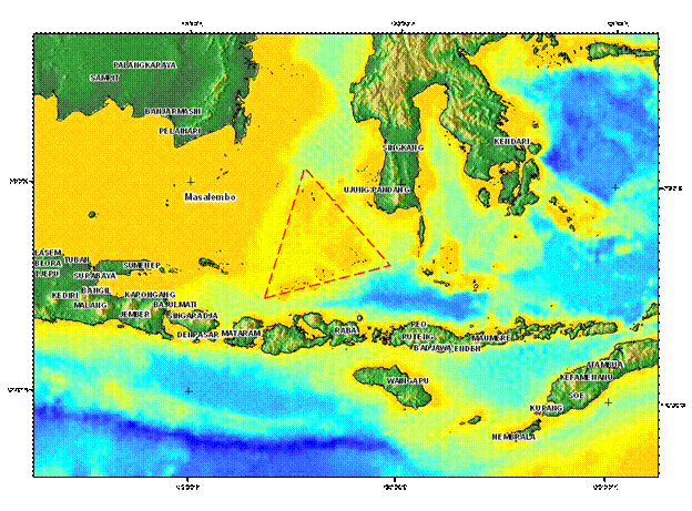
The area of Bunaken National Park represents the tropical ecosystem of Indonesia, because it has any kind of tropical water ecosystems, such as mangrove, seagrasses, seaweeds, and reefs. There’s also tropical forest in this area. Geographically, Bunaken area includes in “Gold Triangle” water –the water connects Papua, Philippine, and Indonesia oceans–, the habitat of more than 3000 species of fish. This beautiful sea park has the diversity of rare aquatic organism species, such as dugong, dolphin, etc. There’re also Hippocampus sp., the giant clam, hawksbill turtle, green turtle, etc.
Because of its high biodiversity, scuba diving facility can attract so many tourists to the Bunaken area. The National Sea Park of Bunaken has 20 dive spots with the deep varies up to 1344 m. Twelve of them are located around Bunaken Island. These dive spots are the most often visited by the divers and the submarine panorama lovers. Most of these 12 dive spots in Bunaken Island are in line from the southeast up to the northwest part. There’re underwater great walls or hanging walls. They are the walls of giant coral that stand vertically and curve up in this area. These coral walls also become the food source for fishes in the water around the Bunaken Island.
Besides the charming submarine park, the islands in this national park area present the natural atmosphere. There’re many cottages, resorts, and diving centers that offer accommodation and diving services. Water pool, hot shower, and restaurants are also provided. The tour activities in the Bunaken National Sea Park are diving, snorkeling, sunbathe, swimming, etc.

Pangandaran

Pangandaran is a town and subdistrict in Pangandaran Regency in the province of West Java, Indonesia. It is located on the southern coast of the island of Java. Pangandaran is a popular tourist destination based around its beach renowned as a surfing destination

ONLINE SHOP